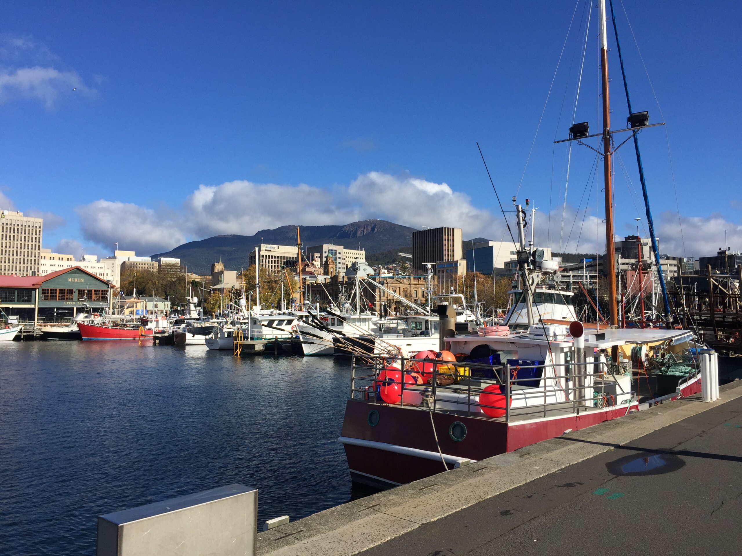
In Hobart, kunanyi / Mount Wellington can look close enough to treat as a guaranteed half-day. It is not. The summit is alpine, exposed and capable of changing character while the waterfront remains calm. The useful itinerary makes the mountain conditional and gives the city plan equal weight from the start.
Make the mountain decision before transport
Check three live sources on the morning of the visit: Tasmania’s current Bureau of Meteorology warnings and forecast, the City of Hobart’s Pinnacle Road status, and the summit webcams. If using a bus or tour, also confirm the operator’s latest departure and turnaround arrangements directly.
The City warns that Pinnacle Road can close at any time because of snow, ice, other unsafe conditions or traffic congestion. It may reopen only in stages. A road that is open to The Springs is not necessarily open to the summit, and an open road does not promise a clear view.
The Hobart rule: decide by conditions, not by the photograph you hoped to take.
Plan A: summit first, waterfront second
If the road, forecast, webcam and operator all support the trip, go to kunanyi first. Keep luggage at the hotel, carry a warm windproof layer and make the return connection part of the plan. The summit sits 1,271 metres above sea level. City guidance notes that temperature typically falls by about one degree Celsius for every 100 metres of ascent and that summit gusts can exceed 100 kilometres per hour.
At the top, begin with the sheltered observation areas and reassess before walking farther. Low cloud can reduce visibility to a few metres, while wind chill can make conditions dangerous even when central Hobart feels mild. Turn back when footing, visibility or comfort changes; the mountain visit is already complete.
Return to the waterfront for a low-pressure afternoon. Walk between Constitution Dock, Victoria Dock and Hunter Street, pausing where the working harbour, old warehouses and mountain line meet. This is not filler after the summit—it is the second half of understanding the city.
Plan B: make the city fallback substantial
If the summit road is closed, the webcam is blank with cloud or the wind warning makes the outing unwise, stay in the city. Start at the docks, then use the Tasmanian Museum and Art Gallery as the indoor anchor. TMAG sits a short walk from the waterfront; its regular-season page currently lists Tuesday to Sunday opening from 10 a.m. to 4 p.m. between 1 April and 24 December. Recheck the day’s hours before relying on them.
- Dry gaps: walk the docks and Salamanca edge.
- Steady rain: give TMAG the main block of the day, then choose one nearby café or covered stop.
- Strong wind: avoid exposed piers and keep the harbour section short.
- Late improvement: consider a lower mountain stop only if transport and return timing are confirmed; do not chase the summit near closing time.
Do not turn a closure into an improvised hike
Pinnacle Road may be legally walkable when closed to vehicles, but that does not make it a casual alternative. Snow-clearing work can be under way, ice may be invisible and the distance from a gate to the snow or summit can be substantial. The City advises visitors to prepare for alpine conditions and be ready to turn back.
Only experienced, properly equipped walkers should consider exposed summit routes in difficult conditions. For an ordinary city day, a closed road means the city plan wins.
A simple decision table
- Road open, forecast settled, summit visible: mountain first; waterfront afterward.
- Road partly open: use only the confirmed lower destination and return plan.
- Road closed or severe warning active: waterfront and TMAG; no improvised ascent.
- Conditions worsen during the trip: accept the turnaround and keep the city afternoon intact.
For another destination where the forecast should control the route rather than merely decorate it, use our São Miguel weather-and-backup plan.
Sources and image credit
Practical information checked 29 September 2026 against the City of Hobart’s live Pinnacle Road status and safety guidance and kunanyi / Mount Wellington visitor page, the Bureau of Meteorology Tasmania warnings and forecasts, and the Tasmanian Museum and Art Gallery visitor page. Featured image: Hobart waterfront and kunanyi by Paris Buttfield-Addison / Wikimedia Commons, licensed CC BY 2.0.