Valparaíso rewards walkers, but it does not reward pretending the hills are flat. The useful way to plan is to spend one lift ride on the main climb, walk across the contours rather than repeatedly up and down them, and finish with a descent you have already checked. That turns the city’s geography into the structure of the day instead of an obstacle discovered halfway through it.
Start with today’s lift status
The historic ascensores are working transport and heritage, not guaranteed attractions. Check their operating status on the morning of your walk. The community status board run by Ascensores de Valparaíso listed Barón, Concepción, Cordillera, El Peral, Espíritu Santo, Reina Victoria and San Agustín as operating when checked on 26 September 2026. It listed Artillería and Polanco among the lifts out of service. Conditions, maintenance and hours can change without fitting your itinerary.
Choose a route that still works if your first-choice lift is closed. If a station is shuttered, do not automatically march across the city to chase another one. Shorten the hill section, use a known street route or take a local taxi to the upper neighbourhood. The goal is a coherent half-day, not a complete lift collection.
The route works only if every uphill shortcut has a walking alternative.
Build one uphill ride and one downhill finish
Begin on the flatter port level around Plaza Sotomayor and the Prat waterfront. From there, confirm the live status of either El Peral, Cordillera or Concepción before committing to a hill. One functioning lift is enough to give the day its vertical logic.
A practical sequence is:
- Walk the port-level heritage area while your legs are fresh and you can see which streets feel comfortable.
- Use one operating lift for the main ascent.
- Move laterally through Cerro Alegre and Cerro Concepción, linking viewpoints and public streets rather than collecting staircases.
- Descend by an operating lift you have rechecked, a familiar road, or a taxi if light, weather or energy has changed.
This is not a race between miradores. It is a route with decision points, which is exactly what a steep, lived-in city needs.
Respect the five-part historic quarter
Chile’s National Cultural Heritage Service describes the UNESCO-listed historic quarter as five connected areas: La Matriz and Santo Domingo; the Serrano–Echaurren area and port market; Prat Pier, Sotomayor and Justicia; the Prat–Turri commercial corridor; and the Alegre and Concepción hills with their promenades and funiculars. The listing dates from 2003.
That matters because “the hills” are not one interchangeable photo set. The port streets, commercial spine and residential slopes have different rhythms and uses. Give right of way on narrow passages, do not block lift doors or platforms, and treat doorways, laundry, school routes and small shops as parts of daily life rather than scenery.
A route with two decision points
Decision one comes at sea level. After Plaza Sotomayor, check the lift board and the actual station. If El Peral is operating, it can place you near Paseo Yugoslavo and the upper streets of Cerro Alegre. If your preferred lift is closed, keep the first hour at port level while you choose a verified alternative.
Decision two comes on the hill. Around Paseo Yugoslavo, Paseo Gervasoni or Paseo Atkinson, look at the time, cloud, wind and your legs. Continue laterally only if you still have a straightforward descent. Otherwise, begin the return before fatigue turns every stair into a negotiation.
A local lift can close during the day. Photograph or save the street route back to the waterfront before moving on, and keep enough mobile data or offline mapping to call a taxi without hunting for Wi-Fi.
If the lift is closed
A closure is a route change, not a challenge. Avoid unknown steep staircases late in the day. The better fallback is to keep the UNESCO quarter’s port and commercial layers, visit the public squares and waterfront, then take a known road or vehicle to one upper viewpoint. You lose the machinery but keep the relationship between harbour, city and hills.
Do not rely on a map that labels an ascensor without showing whether it operates. Historical importance and current service are separate facts. Chile’s heritage authorities highlighted the Cordillera and Concepción lifts in a 2026 World Heritage initiative, but that recognition is not a same-day timetable.
Walk for the effort you actually have
Allow three to four hours for this half-day, including pauses. Wear shoes with grip, carry water and use sun protection even when the air feels cool off the Pacific. Cobble, smooth paving, irregular steps and steep cross streets can all appear in one short stretch.
Stay on busy public routes in daylight, keep valuables unobtrusive and ask accommodation staff or a staffed station about any street you are unsure of. If a section feels wrong for your group, turn around without trying to “complete” the route. A good Valparaíso walk is measured by attention, not elevation gained.
Make room without turning people into a backdrop
Pause for photographs where others can pass. Ask before making a person the subject of a close image, and avoid treating private stoops or doorways as sets. Our guide to responsible travel photography has a fuller checklist for consent and lived-in neighbourhoods.
For food or coffee, choose a place where you can sit rather than eating in a narrow passage. The break is useful route management: it lets the group reassess the descent while giving residents and workers their space.
A useful half-day outline
- First hour: Plaza Sotomayor, the port edge and a live lift check.
- Second hour: one uphill ride, then Paseo Yugoslavo or another verified upper starting point.
- Third hour: contour-line walking through Cerro Alegre and Cerro Concepción with one café or viewpoint pause.
- Final hour: a pre-checked descent, with a taxi as the sensible option if the operating picture changes.
Keeping the route to one main climb leaves enough attention for colour, harbour light and the way the city folds around its hills. That is more revealing than a day spent fighting the gradient.
Planning sources: Chile’s National Cultural Heritage Service overview of Valparaíso’s historic quarter; its 2026 World Heritage passport update; and the current Ascensores de Valparaíso operating-status board. Fixed heritage facts and live status checked 26 September 2026; verify operating lifts again on the day.
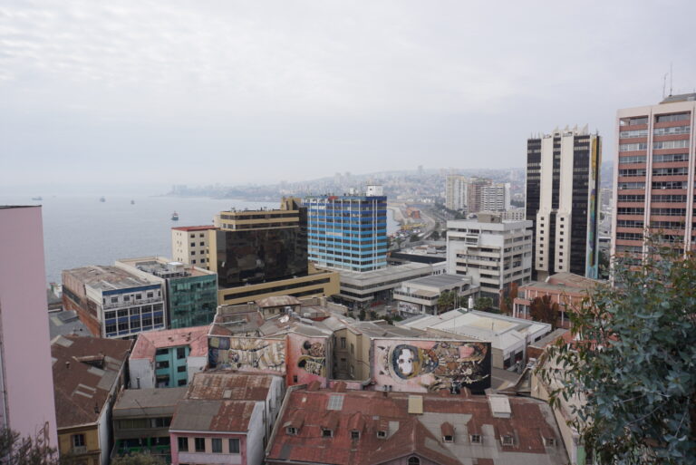
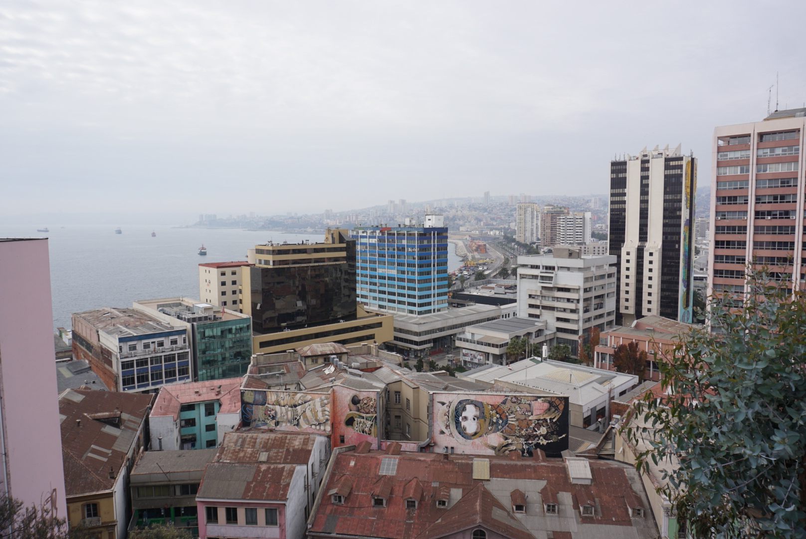
Featured image: central Valparaíso seen from Paseo Yugoslavo, photographed by Camilahs93. CC BY-SA 4.0 via Wikimedia Commons; no editorial crop.