Jebel Akhdar is not a scenic set built for a quick photo stop. The plateau’s villages, terraces, orchards and falaj water channels form a working landscape. A good visit therefore starts with access and etiquette: arrive in a suitable vehicle, choose one manageable walk and leave private land exactly as you found it.
Treat access as part of the plan
Official Omani visitor guidance describes a police checkpoint on the road to Jebel Akhdar that checks whether vehicles are suitable for the climb. Confirm the current requirement with your rental company or licensed operator before departure, and do not assume that a standard sedan or an ordinary city taxi will be accepted. Road and weather conditions can change, so check again on the day.
If you are arranging a driver, be explicit about the checkpoint, your intended village and your return time. A guide who knows the plateau can add far more than transport: they can explain how settlement patterns, water and agriculture fit together, and help visitors avoid residential lanes or farm tracks that are not public routes.
Choose one village-scale walk
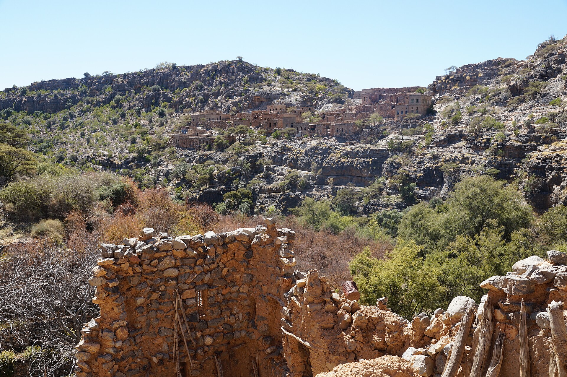
Build the day around one signed route or a walk with a licensed local guide rather than collecting several village names. Wadi Bani Habib is known for old stone settlements, while villages such as Al Ayn reveal the relationship between houses, terraces and the mountain’s contours. Conditions and access can vary, so verify the trailhead locally and follow any posted closure or diversion.
The village rule: stay on the path, leave crops and water channels untouched, and ask before photographing people or private spaces.
Allow time to stop without blocking the route. The point is not to cover maximum distance; it is to notice how paths connect homes, cultivated slopes and shared water infrastructure.
Read the terraces as working ground
The fruit trees and vegetables on Jebel Akhdar are private crops and a source of income. Do not pick produce, enter an orchard for a photograph or lean equipment against walls and irrigation structures. Falaj channels are part of a carefully managed water system: keep litter, shoes and hands out of the flow unless a clearly designated visitor area says otherwise.
The plateau is greener and often milder than Oman’s lower plains, but “green” does not mean effortless. Exposed paths can still be hot, steep or slippery. Carry water, sun protection and a light layer, and use shoes with secure grip.
Dress and behave for a lived-in place
Experience Oman’s visitor guidance asks travellers to dress modestly, especially in traditional villages. Loose clothing that covers shoulders and knees is a practical baseline for everyone. Keep music and voices low near homes and places of worship, park only where permitted and never point a camera at a person or private property without asking.
- Step aside for residents and working vehicles.
- Keep drones grounded unless you have confirmed every current permission and local restriction.
- Carry all litter back with you; do not use the falaj or fields as wash areas.
- Buy food, crafts or guiding services locally when the opportunity is genuine.
Build a practical half-day
- Start with access: confirm the vehicle, checkpoint requirement and current road conditions.
- Choose one walk: use a signed route or a guide, with a clear turnaround time.
- Pause with purpose: stop at one viewpoint or village café rather than entering every lane.
- Leave a buffer: allow time for fog, heat, a slow return or a respectful change of route.
A single, well-paced village experience usually gives more context than a rapid circuit of viewpoints. It also reduces unnecessary driving on mountain roads.
Know when to turn back
End the walk if the route becomes unclear, weather closes in, footwear is inadequate or anyone in the group is struggling with heat or exposure. Do not continue into a terrace or residential passage simply because an online map shows a line. If you cannot confirm suitable transport or a safe route, postpone the mountain day and use a lower-elevation plan.
For another hot-climate itinerary built around realistic conditions, see our guide to balancing indoor and outdoor time in the UAE.
Planning sources: Experience Oman: Al Dakhiliyah; Experience Oman’s official visitor guidance, Activities booklet and hiking handbook. Information checked 23 September 2026. Access, weather and trail conditions can change—confirm locally before setting out.
Featured image reserved: “Jebel Akhdar – abandoned villages of Wadi Bani Habib” by Albinfo, licensed CC BY-SA 4.0, via Wikimedia Commons. The photograph has not previously been used as a Travel2Travel featured image.